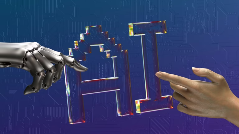
When Remote Sensing Meets AI: The Compute Cost Nobody Is Talking About
There was a time when remote sensing was mostly about capturing imagery and letting a human analyst figure out…

There was a time when remote sensing was mostly about capturing imagery and letting a human analyst figure out…
GIS & Spatial Data · Fundamentals Geospatial vs Geographic Data: Understanding the Distinction That Shapes Every GIS Workflow, Coordinate…
Smart Infrastructure · GIS & Spatial Data Geospatial Digital Twins in 2026: How Virtual Representations of the Physical World…

Smart Infrastructure · AI & Geospatial Analytics Smart Sensors in 2026: The Complete Guide to IoT Sensing Technology for…
The geospatial industry has always been data-heavy. Satellite imagery pipelines, LiDAR point cloud processing, and urban planning models generate…
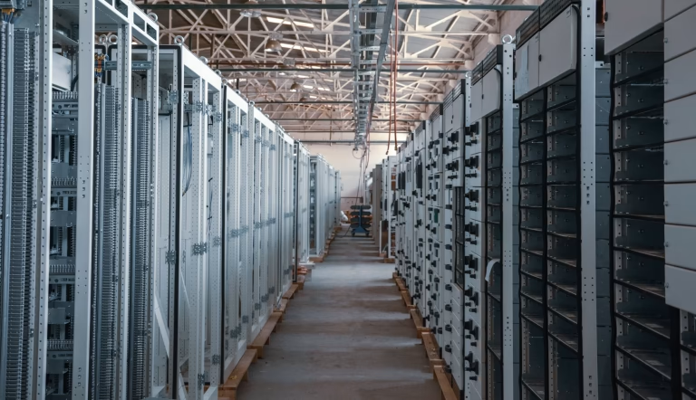
Siemens Bets Big on U.S. Manufacturing to Meet Surging AI Data Centre Demand The expansion of AI workloads is…

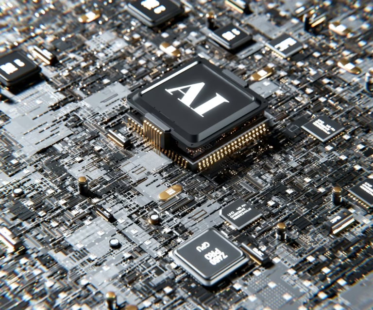
Artificial intelligence is transforming how we analyse satellite imagery and geospatial data. From crop classification to disaster monitoring, machine…

Enterprise campus networks are under pressure. The combination of growing bandwidth demands, increasing device density, operational technology integration, and…

The positioning industry has historically been dominated by satellite-based systems — GPS, GLONASS, Galileo, and BeiDou provide the foundation…
We'd love to hear from you