
Smart Infrastructure · AI & Geospatial Analytics
Smart Sensors in 2026: The Complete Guide to IoT Sensing Technology for Geospatial, Environmental Monitoring & Smart Infrastructure
From temperature monitoring across cold-chain logistics to UWB radar tracking in eldercare, smart sensors are the data capture layer powering digital twins, precision agriculture, and connected infrastructure. This guide maps the sensor types, wireless technologies, network architectures, and real-world applications shaping the spatial data landscape.
Spatial Tech Editorial · April 2026 · 18 min read
What Makes a Sensor ‘Smart’ — And Why It Matters for Spatial Data
A traditional sensor measures a physical quantity — temperature, pressure, light, motion — and converts it into an electrical signal. That is all it does. A smart sensor integrates sensing, processing, and wireless communication into a single autonomous device. It does not merely capture data; it processes it locally, makes decisions based on algorithms running on an embedded microprocessor, and transmits the results wirelessly to a gateway, cloud platform, or directly to another device. This distinction transforms sensors from passive measurement instruments into active nodes in an intelligent network.
For the geospatial and smart infrastructure community, smart sensors are the ground-truth data layer. They provide the continuous, real-time environmental measurements that feed into GIS platforms, digital twins, precision agriculture models, and urban monitoring systems. Without them, satellite imagery and spatial analytics operate on static snapshots. With them, spatial data becomes dynamic — a living representation of conditions on the ground, updated continuously and at the resolution that matters for operational decisions.
Five Core Components of a Smart Sensor
🧠
Microprocessor
Signal conditioning, self-diagnosis, edge processing
🔋
Power Source
Battery or energy harvesting (light, vibration, heat)
📡
Transceiver
Captures physical, biological, or chemical data
💾
Memory Unit
Stores or processes data using local algorithms
📶
Comms Module
RFID, NFC, BLE, Wi-Fi, LoRaWAN, or 5G
Seven Types of Smart Sensors and Their Geospatial Applications
Each sensor type can be integrated with different wireless IoT technologies — RFID, NFC, UWB, Bluetooth LE, LPWAN, or 5G — depending on the range, power, and throughput requirements of the deployment. The choice of sensor type determines what you measure. The choice of wireless technology determines how that measurement reaches your spatial data platform.
| Sensor Type | What It Measures | Geospatial & Infrastructure Applications |
|---|---|---|
| 🔊 Acoustic | Sound waves, vibrations, frequencies | Structural health monitoring, drone detection, environmental noise mapping, leak detection in pipelines |
| 🧪 Chemical | Chemical concentrations, gas composition, fluid analysis | Air and water quality monitoring, industrial spill detection, food safety compliance, environmental compliance |
| ⚡ Electrical | Voltage, current, power, magnetic fields | Smart grid monitoring, power infrastructure stability, smart building energy management |
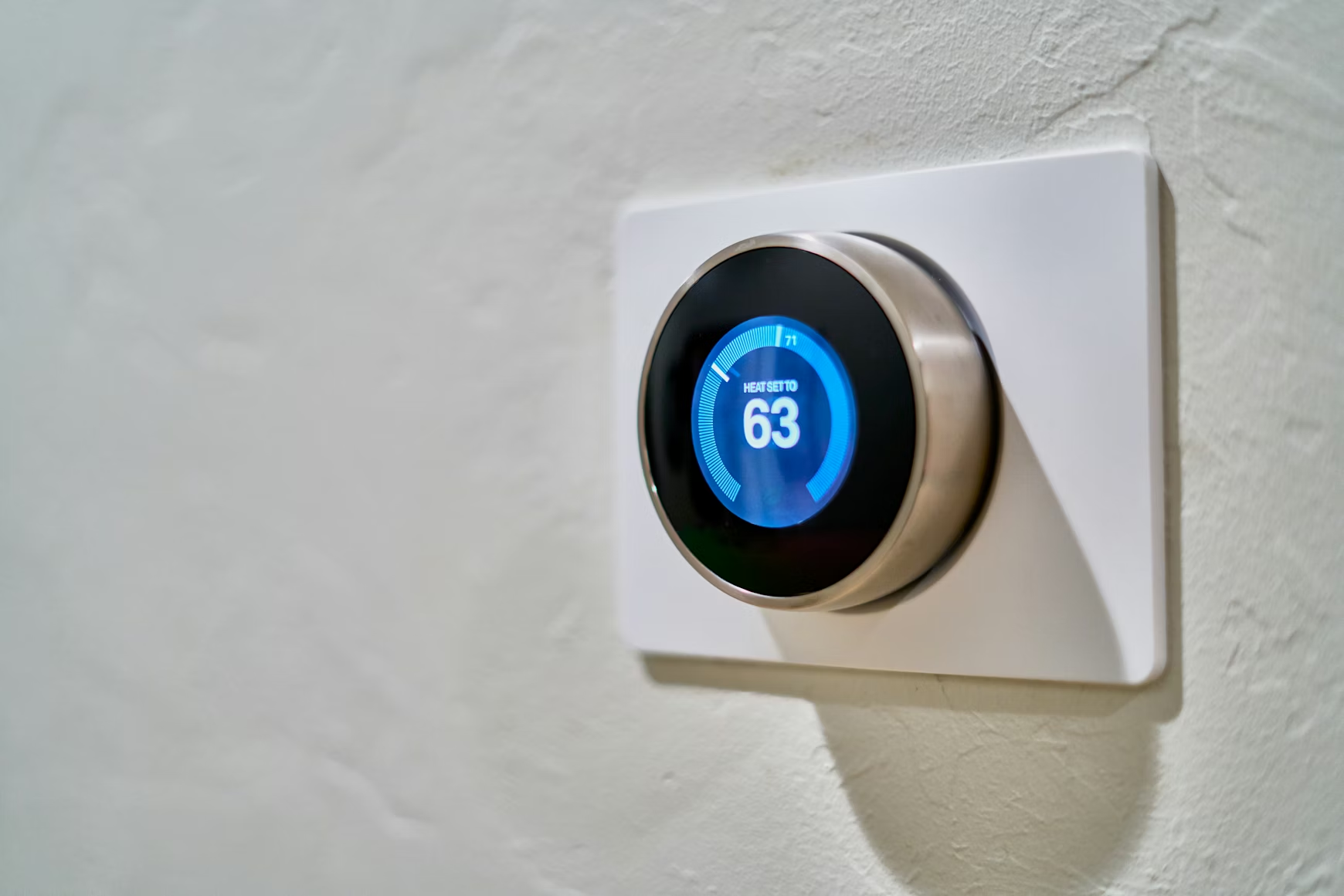
| 🌡️ Environmental | Temperature, humidity, pressure, moisture, light, airflow | Precision agriculture (soil moisture), weather stations, smart city air quality, cold-chain logistics, greenhouse automation |
| 📷 Image | Light waves (CMOS and CCD capture) | Remote surveillance, precision agriculture imaging, traffic monitoring, machine vision for infrastructure inspection |
| 🏃 Motion & Force | Movement, proximity, applied force, pressure, strain | Building occupancy detection, collision avoidance in logistics, structural strain monitoring, drone altitude stabilisation |
| 👆 Touch | Physical touch or surface pressure | Robotics for field surveying, industrial automation interfaces, smart home controls, automotive systems |
Wireless IoT Technologies: How Smart Sensor Data Reaches Your Platform
The communication protocol determines how sensor data moves from the field to the dashboard. Each technology occupies a different position in the range-power-throughput triangle, and the right choice depends on whether you are monitoring a single building, a city block, an agricultural plot, or an entire region.
RFID
Radio waves for asset tracking and identification. Passive tags require no battery. Ideal for logistics, inventory, and supply chain traceability across geospatial networks.
NFC
Short-range communication (centimetres). Secure, fast data exchange. Used for contactless payments, access control, and field data capture where proximity guarantees authenticity.
UWB
Ultra-wideband for centimetre-level positioning accuracy. High-speed data transfer over short distances. Critical for indoor localisation, asset tracking, and gait analysis.
Bluetooth LE
Low-power, short-to-medium range. Native smartphone connectivity. The default protocol for battery-powered IoT sensors, beacons, and wearables. Billions of compatible devices worldwide.
LPWAN (LoRaWAN)
Long-range, very low power, very low throughput. Designed for remote environmental monitoring, smart agriculture, and utility metering where sensors transmit small data packets over kilometres.
5G / Cellular IoT
High bandwidth, wide coverage, no gateway required. Increasingly used for smart city sensor networks where real-time, high-volume data transmission justifies the power and subscription cost.
Smart Sensor Network Architecture: From Node to Cloud
An intelligent sensor network is more than a collection of individual sensors. It is a layered system where each component has a defined role in the data pipeline — from physical measurement at the edge to processed insight in the spatial analytics platform. Understanding this architecture is essential for designing deployments that scale, operate reliably, and deliver data at the resolution and latency your application requires.
Smart sensors are the ground-truth layer for spatial data. Without continuous environmental measurement from the field, digital twins and GIS platforms operate on static snapshots rather than living representations of real-world conditions.
Applications by Sector: Where Smart Sensors Create Spatial Value
| Sector | Sensor Types Used | Application | Wireless Protocol |
|---|---|---|---|
| Precision Agriculture | Environmental, Image, Chemical | Soil moisture optimisation, crop imaging, irrigation automation | LPWAN, BLE |
| Smart Cities | Environmental, Motion, Acoustic, Image | Air quality monitoring, traffic flow, noise mapping, occupancy detection | 5G, LPWAN, BLE |
| Cold-Chain Logistics | Environmental (temp), RFID | Real-time temperature monitoring from field to retail, spoilage prevention | BLE, RFID |
| Industrial Infrastructure | Acoustic, Force, Environmental, Electrical | Equipment condition monitoring, leak detection, digital twins, strain analysis | Zigbee, Wi-Fi, 5G |
| Healthcare & Eldercare | Motion, Acoustic, Force | Patient monitoring, gait analysis, fall prediction, UWB-based indoor localisation | UWB, BLE, NFC |
| Environmental Monitoring | Chemical, Environmental, Acoustic | Water and air pollution tracking, wildfire risk detection, weather station networks | LPWAN, Cellular |
| Security & Surveillance | Acoustic, Motion, Image | Drone detection, perimeter security, glass break and spray can detection | 5G, Wi-Fi, BLE |
| Smart Buildings | Motion, Environmental, Electrical, Touch | Occupancy-based lighting, HVAC optimisation, energy monitoring, smart access control | BLE, Zigbee, Z-Wave |
The pattern across all sectors is consistent: smart sensors provide the continuous, georeferenced data layer that transforms static spatial models into dynamic, decision-ready systems. In precision agriculture, soil moisture sensors feed into GIS platforms that adjust irrigation zone by zone. In smart cities, environmental and motion sensors provide the real-time inputs for transport models and air quality dashboards. In industrial infrastructure, acoustic and strain sensors create the condition-monitoring layer that feeds into predictive maintenance digital twins. The sensor is the bridge between the physical world and the spatial model.
Battery-Free Sensing: Energy Harvesting and the Future of Autonomous IoT Deployments
The most significant constraint on large-scale sensor deployments is not cost or connectivity — it is power. Battery replacement across thousands of sensors in agricultural fields, urban infrastructure, or logistics networks is operationally prohibitive. Energy harvesting eliminates this constraint by allowing sensors to scavenge power from ambient sources — light, vibration, thermal gradients, or radio frequency energy — and operate indefinitely without battery replacement. Battery-free Bluetooth-enabled sensor tags are already deployed in retail cold-chain monitoring at scale, with millions of units tracking temperature from harvest to shelf without a single battery change. For geospatial deployments where sensors need to operate for years in inaccessible locations — embedded in bridge structures, distributed across remote agricultural land, or deployed in environmental monitoring stations — energy harvesting is not a future technology. It is a deployment requirement.
☀️
Solar / Light
Indoor and outdoor photovoltaic harvesting
〰️
Vibration
Piezoelectric from machinery or movement
🌡️
Thermal
Thermoelectric from temperature differentials
📡
RF Energy
Harvesting from ambient radio signals
Frequently Asked Questions
What is a smart sensor and how does it differ from a traditional sensor?
A traditional sensor measures a physical quantity and outputs an electrical signal. A smart sensor integrates sensing, on-board processing via a microprocessor, memory for data storage or algorithmic processing, and a wireless communication module — all in a single autonomous device. This means it can process data locally, make decisions at the edge, and transmit only relevant information wirelessly, reducing bandwidth requirements and enabling real-time responses without constant cloud connectivity.
What wireless technologies do smart sensors use?
Smart sensors can be integrated with RFID (for passive asset tracking), NFC (for short-range secure data exchange), UWB (for centimetre-accurate indoor positioning), Bluetooth Low Energy (for low-power smartphone-connected applications), LPWAN/LoRaWAN (for long-range, low-throughput environmental monitoring), Wi-Fi (for high-throughput local connectivity), and 5G/cellular (for wide-area, high-bandwidth smart city deployments). The choice depends on range, power, throughput, and cost requirements.
How are smart sensors used in precision agriculture?
In precision agriculture, smart environmental sensors measure soil moisture, temperature, humidity, and light levels at multiple points across a field. This data feeds into GIS platforms that create spatial maps of soil conditions, allowing irrigation to be optimised zone by zone rather than applying water uniformly. Chemical sensors can monitor soil nutrient levels, and image sensors on drones or fixed mounts provide crop health imagery that can be correlated with ground-level sensor data for more accurate yield predictions and intervention planning.
What is energy harvesting in smart sensors?
Energy harvesting is the process of scavenging power from ambient environmental sources — solar light, mechanical vibration, thermal gradients, or radio frequency energy — to power a smart sensor without batteries. This enables truly autonomous deployments where sensors can operate for years without maintenance. Battery-free sensor tags using Bluetooth and energy harvesting are already deployed at scale in cold-chain logistics, and the technology is increasingly relevant for large-scale environmental monitoring and smart infrastructure applications where battery replacement is impractical.
What is a smart sensor network and how is it structured?
A smart sensor network is a layered system consisting of sensor nodes (the individual measurement devices), a sensor control module that manages local communication and data aggregation, a base control module or gateway that bridges the sensor network to the internet or cloud, a multi-sensor data fusion layer that combines data from different sensor types into a unified dataset, and an application layer where processed data integrates with GIS platforms, digital twins, or analytics dashboards. Networks can be wired, wireless, or hybrid.
How do smart sensors feed into digital twin platforms?
Digital twins require continuous, real-time data from the physical environment to maintain an accurate virtual representation. Smart sensors provide this data layer — temperature, humidity, vibration, occupancy, strain, air quality — georeferenced and timestamped. Multi-sensor data fusion combines inputs from different sensor types into a coherent dataset that updates the digital twin model continuously. Without smart sensors, a digital twin is a static 3D model. With them, it becomes a living system that reflects current conditions and enables predictive analysis.
What is UWB and why is it important for indoor positioning?
Ultra-wideband (UWB) is a radio technology that provides centimetre-level positioning accuracy over short distances — far more precise than GPS (which does not work reliably indoors) or Bluetooth-based proximity estimation. UWB radar sensors can track movement patterns, detect gait differences between individuals, and provide continuous indoor localisation. Applications include warehouse asset tracking, eldercare monitoring (detecting falls or abnormal movement), and indoor navigation for large facilities where GPS coverage is unavailable.
What are SAW sensors and how do they work without a battery?
Surface Acoustic Wave (SAW) sensors use piezoelectric substrates to measure physical parameters such as temperature, pressure, and strain. They operate by transmitting acoustic waves across the sensor surface — changes in the measured parameter alter the wave characteristics, which are detected wirelessly. Because the measurement mechanism is passive (the acoustic wave is generated by an external interrogator signal), SAW sensors require no internal power supply, making them suitable for embedded applications in structures, machinery, or environments where battery access is impossible.
How are smart sensors used in smart city infrastructure?
Smart cities deploy environmental sensors for air quality and dust monitoring, motion sensors for traffic flow analysis and pedestrian counting, acoustic sensors for noise mapping and emergency siren detection, image sensors for traffic and surveillance, and pressure sensors for weather monitoring. This sensor data feeds into urban management platforms and GIS systems that enable data-driven decisions on transport routing, zoning, energy management, and emergency response. 5G and LPWAN networks provide the connectivity layer for city-scale sensor deployments.
What is multi-sensor data fusion and why does it matter?
Multi-sensor data fusion (MSDF) combines data from multiple sensor types — temperature, motion, chemical, acoustic, image — into a unified, higher-confidence dataset. Individual sensors provide partial views. Fusion creates a complete picture. For example, in infrastructure monitoring, combining vibration data (acoustic sensors), strain measurements (force sensors), and thermal readings (environmental sensors) produces a far more reliable assessment of structural health than any single sensor type alone. MSDF is essential for digital twins, autonomous systems, and any application where decision quality depends on correlating different types of spatial and environmental data.
Spatial Tech is an independent publication covering geospatial technology, remote sensing, and smart infrastructure. This guide is editorial analysis and does not constitute product endorsement. Sensor specifications, protocol capabilities, and technology features are subject to change — always consult current manufacturer documentation for deployment-specific guidance. © 2026 Spatial Tech. All rights reserved.